
Anti Atlas
The Anti Atlas also known as Lesser Atlas or Little Atlas is a mountain range in Morocco, a part of the Atlas Mountains in the northwest of Africa, hike tours from Mrrakech.
Anti Atlas Sunny Adventures
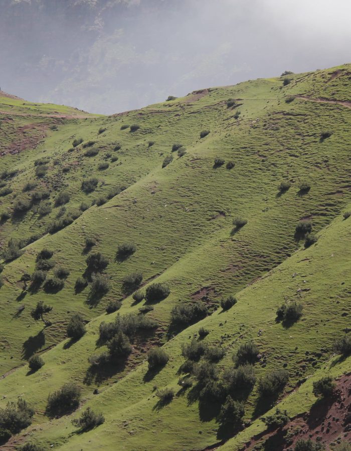
An adventure in the Anti Atlas · Dawn brought blue skies, bright sunshine and a spectacular vista over the fertile valley.
Anti-Atlas
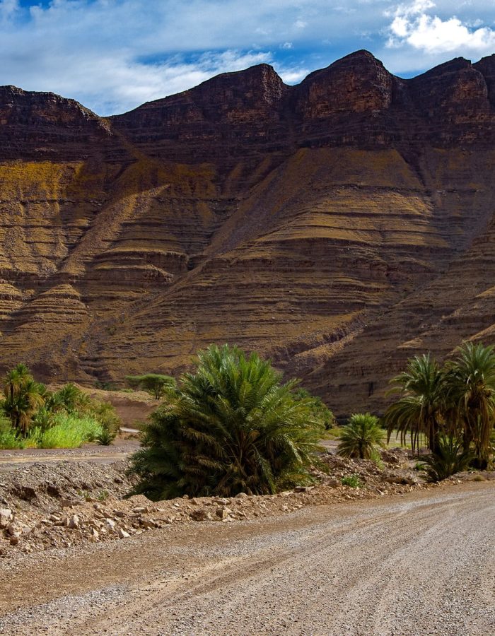
The Anti-Atlas, known as aṭlas ameẓyan or aṭlas mẓiyn in Berber, and al-Atlas As-Saghir in Arabic, is a mountain range located in the southwest of Morocco. It stretches almost 600 km from southwest to northeast, situated between the central High Atlas and Souss au Tafilalet. This range is part of the Atlas massif, specifically one of the three components of the Moroccan Atlas, with the other two being the High Atlas and the Middle Atlas.

Geography:
The Anti-Atlas is fragmented into several massifs: to the west the Anti-Atlas of Tafraout, to the east the ancient volcano of Jebel Sirwa (or Siroua) culminating at 3,305 m and even more to the east. the djebel Saghro (djebel Sagho) beyond the wadi Draa.
The main peaks are as follows, with their altitude:
- Jebel Sirwa, 3,305 meters
- Jebel Saghro, 2,712 meters
- Jebel Aklim, 2,531 meters
- Jebel Lekst, 2,357 meters
“Anti-Atlas” today designates only the Moroccan Anti-Atlas but it was also synonymous with the Saharan Atlas in Algeria-Tunisia1.
The Moroccan Anti-Atlas was sometimes called the Little Atlas2,3.
The Moroccan Anti-Atlas has several Arabic names in addition to al-Atlas as-Saghir on modern maps:
- Jebel el Atlas el dâkhlîâ4.
- Atlas el Khlfî5 (Khalfî: “rear, posterior”, from Khlf: “replace, succeed”).
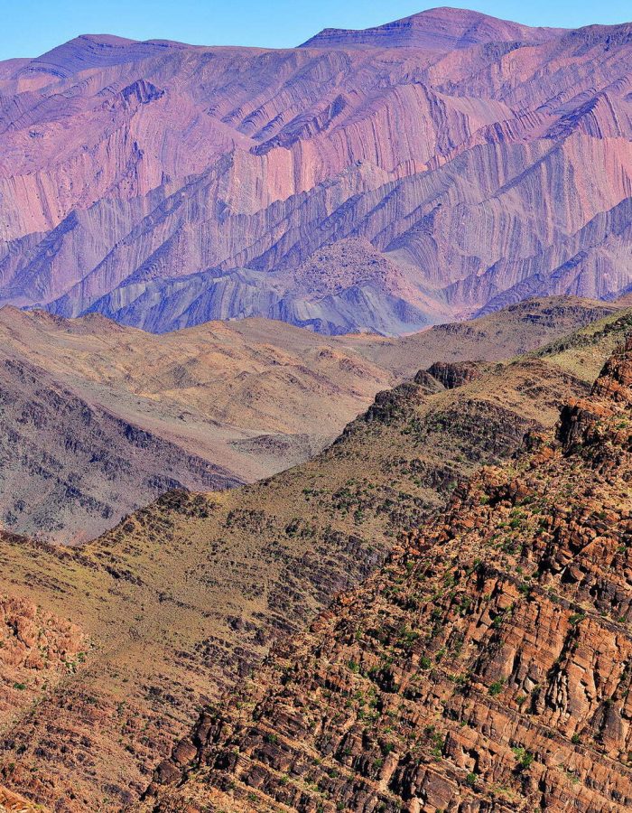
The Anti-Atlas is a chain of mountains, formed about 300 million years ago during the Alleghenian orogeny, which saw the birth of the super-continent of Pangea, by collision of the African plate with the Laurussia plate. .
It is a vast anticline of Precambrian and Paleozoic rocks exhumed during Cenozoic compression associated with the Alpine Convergence. The reliefs are incised with imposing gorges, and the chain is separated in two by the suture of the Drâa wadi, the AAMF (Anti-Atlas Major Front) fault zone. The first summit culminates at Imgout (2,530 m) and the second at Amalou-n-Mansour (2,712 m).
The geology there is very heterogeneous: the Precambrian is dominated by basalts, granites and metasediments, covered on the sides of the anticline by Paleozoic sedimentary series. It is the driest mountain range in Morocco, water flows in a few rare places, forming precious basins of clear water.
Paleontology:
This massif has become an internationally renowned paleontological site, following the surprising discovery of the bones of a totally unknown dinosaur, the Atlasasaurus, which populated Morocco 180 million years ago. It could well be the “ancestor” of the sauropods of North America, which are only 140 million years old – a time when North Africa and the American continent were welded. Another dinosaur from the same period, about nine meters long, is called Tazoudasaurus naïmi, named after the village of Tazouda where it was discovered, 70 km from the city of Ouarzazate.
Anti Atlas mountain range
Water resources:
Much of the groundwater in the Anti-Atlas is used on the outskirts of the Souss and Tiznit plains. For a long time, the population has exploited the majority of these sources using the collection technique called khettara (or qanat in Iran, foggara in Algeria): underground drains for collecting water by gravity.
